


The National Weather Service in Little Rock said rain is coming by Wednesday. Scroll down for the 7-day extended forecast.
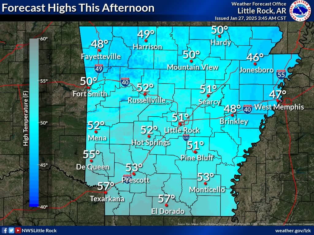
Forecast highs Monday afternoon will be in the upper 40s to mid 50s. Expect a mostly sunny sky by afternoon for most areas. Forecast lows tonight into Tuesday morning will still be freezing – in the mid 20s to mid 30s, under a mostly clear sky.
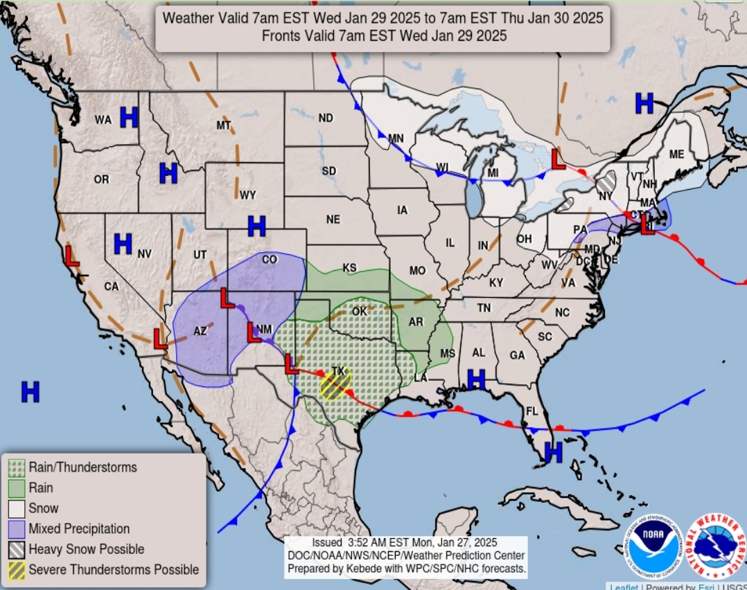
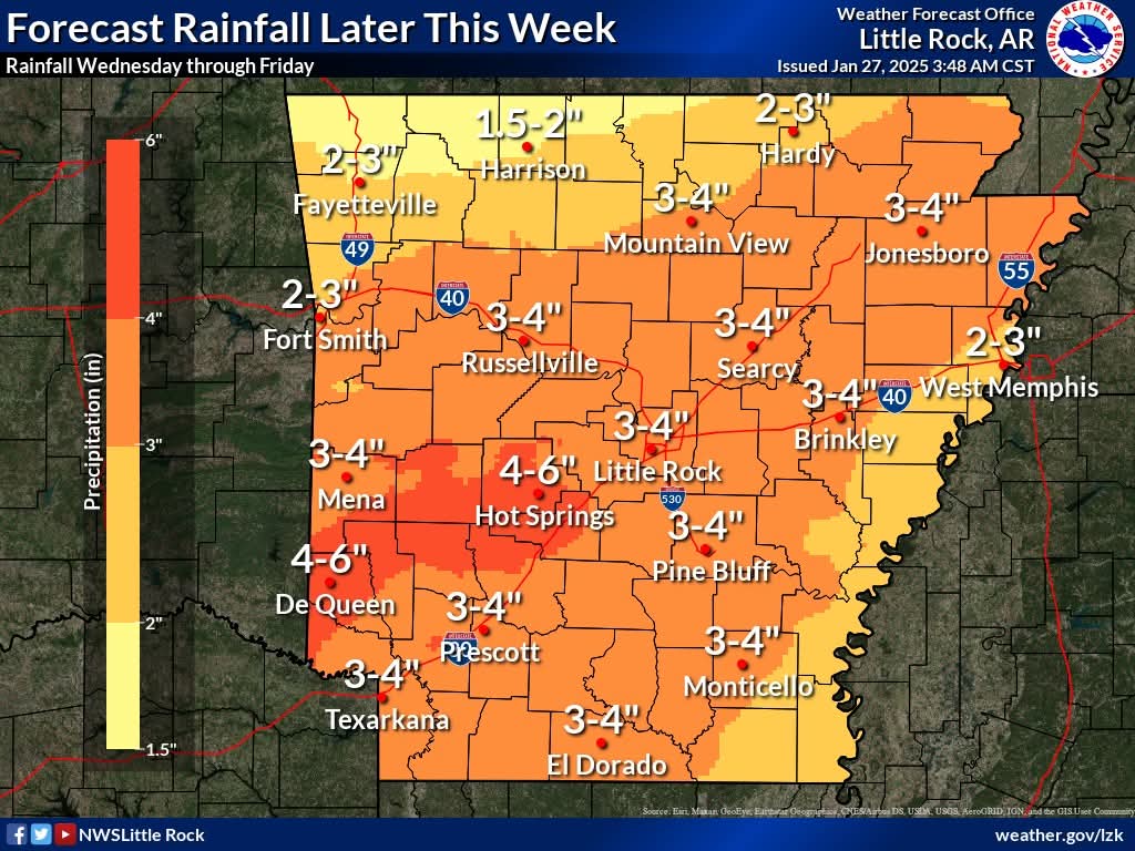
A slow moving storm system will move over the state starting Wednesday through Friday. Several inches of rainfall is possible, with rainfall amounts potentially exceeding 4 inches in some locations.
Extended Forecast
Today ☀️
Sunny, with a high near 51. North wind around 5 mph becoming calm.
Tonight
Clear, with a low around 31. Calm wind.
Tuesday 🌤️
Mostly sunny, with a high near 59. Calm wind becoming west southwest around 5 mph in the afternoon.
Tuesday Night
Mostly cloudy, with a low around 41. Southwest wind around 5 mph becoming calm.
Wednesday ☔
A 40 percent chance of showers. Cloudy, with a high near 56. Calm wind becoming northwest around 5 mph.
Wednesday Night
Showers likely, mainly after midnight. Cloudy, with a low around 44. Calm wind becoming east around 5 mph after midnight. Chance of precipitation is 60%.
Thursday ☔
Showers. High near 58. Southeast wind 5 to 10 mph, with gusts as high as 20 mph. Chance of precipitation is 100%.
Thursday Night
Showers. The rain could be heavy at times. Low around 49. Southeast wind 5 to 10 mph becoming southwest in the evening. Winds could gust as high as 20 mph. Chance of precipitation is 90%.
Friday ☔
A 50 percent chance of showers. Mostly sunny, with a high near 62. West wind 5 to 10 mph, with gusts as high as 20 mph.
Friday Night
Partly cloudy, with a low around 38.
Saturday☀️
Sunny, with a high near 57.
Saturday Night
Mostly clear, with a low around 36.
Sunday☀️
Sunny, with a high near 63.