

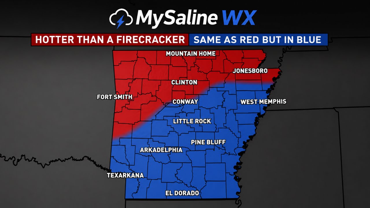
HOTTER THAN A FIRECRACKER 🧨
It’s going to be hot this week, here is what you need to know!
Read more below 👇
Today (Tuesday)
Hot and hazy
• High: 95–96°F
• Mostly sunny with hazy skies.
• Heat index approaching 100–105°F this afternoon.
• Light south wind.
• Rain chance: 0%
Wednesday
Peak of the heat
• High: 96–97°F
• Partly sunny and very humid.
• Heat index: 103–107°F.
• Rain chance: Less than 10%
Thursday
Still hot with isolated afternoon storms
• High: 92–95°F
• Partly sunny.
• Isolated showers and thunderstorms developing after 2 PM.
• Rain coverage: 20–30%
• Any storm could produce brief heavy rain and lightning.
Friday
Hot and humid
• High: 94–96°F
• Mix of sun and clouds.
• Isolated afternoon and evening thunderstorms.
• Rain coverage: 20–30%
• Most of the day stays dry.
🇺🇸 Fourth of July Forecast (Saturday)
Overall Rating: 8.5/10 for outdoor plans
• High: 94–95°F
• Morning: Partly to mostly cloudy, warm and humid.
• Afternoon: A 20–30% chance of a pop-up thunderstorm.
• Evening (Fireworks): Warm with temperatures falling through the 80s into the upper 70s after dark.
• Most fireworks displays should be able to proceed, though a brief storm can’t be ruled out in a few locations.
• Winds: South 5–10 mph.
HOTTER THAN A FIRECRACKER 🧨 Plan for plenty of water, sunscreen, and frequent breaks if you’ll be outside for holiday festivities. Most locations should stay dry for Independence Day celebrations, but keep an eye on the radar for a few isolated pop-up storms
In the weather dome,
Jace Thompson,
Chief forecaster for MySaline WX